Making Mud: Severe weather strikes state
Last week’s spring storm brought much-needed relief to thirsty parts of Wyoming but also brought heartache to some producers who are now assessing damage from the severe weather that ravaged parts of the state.
The storm brought rain to the whole state, according to meteorologist Don Day, but the heaviest rains came to the central and northern counties with northern Platte County getting hit the hardest. Six miles northeast of Glendo recorded 8.03 inches in the days leading up to Memorial Day. Day says that is especially significant since the average precipitation for Platte County is only 12 to 13 inches per year.
“This storm takes the whole state to, or well above, average for the month of May,” Day says.
The lightest precipitation fell in the southeast and southwest corners of the state, according to Day. Lander also saw good moisture from the spring storm, breaking their all-time record for May precipitation. As of May 27, Lander had 6.08 inches of precipitation for the month.
“Most precipitation comes in May so we expect May to be wet,” Day says. “It takes a lot of moisture to break a record in May and since the month isn’t over, there might be some other records broken.”
The storm also brought severe weather to many parts of the state. Thursday and Friday brought tornados, hail and snow to Albany County.
“It is extremely unusual to have tornados in Laramie, the terrain isn’t conducive to tornados and they are very rare, especially at that magnitude,” Day says. “It was also unusual because it snowed heavily for three to four hours afterward.”
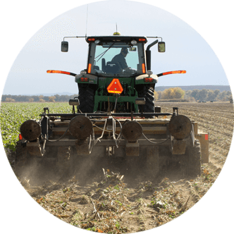
The bizarre weather also created heavy snowfall in Thermopolis. Nearly six inches of snow fell causing reported tree damage, Day says. Fremont and Hot Springs counties also saw snow and tornados were spotted in Albany, Laramie, Platte and Goshen counties during the storm cycle. Platte County seemed to get hit the hardest and residents are still reeling from flooding, hail and winds, which caused damage to sugar beet crops.
All of Wyoming’s major creeks, streams and rivers are running full and fast and flood concerns may carry on the next two weeks, according to Day.
Day says the storm that caused the hectic weather was a very large and very well-organized storm that started over Utah and Nevada.
“This one was off the scale in terms of organization and intensity,” Day says.
Liz LeSatz is the Summer 2008 intern for the Wyoming Livestock Roundup and can be e-mailed at liz@wylr.net.

